

MAP & DATA DOWNLOAD
カツオトレイルの全体マップ、各セクションごとのハイキング用GPXデータ、およびバイク用のStravaデータを、こちらからダウンロードできます。
You can download the full map of the Katsuo Trail, hiking GPX data for each section, and Strava data for biking from here.
カツオトレイルマップ ダウンロード
KATSUO TRAIL Map Download
プリントアウト用 A3サイズ / PDF — Print-ready, A3 size
カツオトレイル セクション全体マップ
KATSUO TRAIL Overall Map
Posted on May 5, 2025
「カツオトレイル」の全体ルートを掲載した公式マップ(A3サイズ/PDF形式)をダウンロードいただけます。
カツオトレイルの全体像を把握できる内容となっており、A3サイズにてプリントアウトしてご活用いただくことも可能です。
You can download the official map (A3 size / PDF format) showing the full route of the Katsuo Trail.
This map provides a comprehensive overview of the entire trail and can be printed in A3 size for your personal use and planning.
カツオトレイル セクション1 マップ
KATSUO TRAIL SECTION 1 Map
Yaizu to Shizuoka Posted on May 24, 2025
カツオトレイルのスタート区間「セクション1 焼津 → 静岡」の1/35,000マップ(A3サイズ/PDF形式)を公開しました。
「セクション1 焼津 → 静岡」は、海と山、そして人の暮らしが連続する、美しいカツオトレイルの導入パートです。
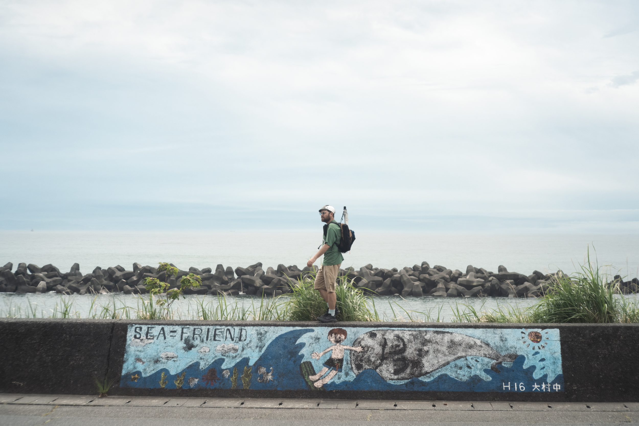
物語は駿河湾に面した焼津市から始まります。古くから「カツオの町」として知られる焼津は、黒潮に乗ってやってくるカツオを追い、海とともに生きてきた人々の文化が息づく港町です。スタート地点は石津浜公園。海の香りと潮風を感じながら、富士山を背にトレイルの第一歩を踏み出します。
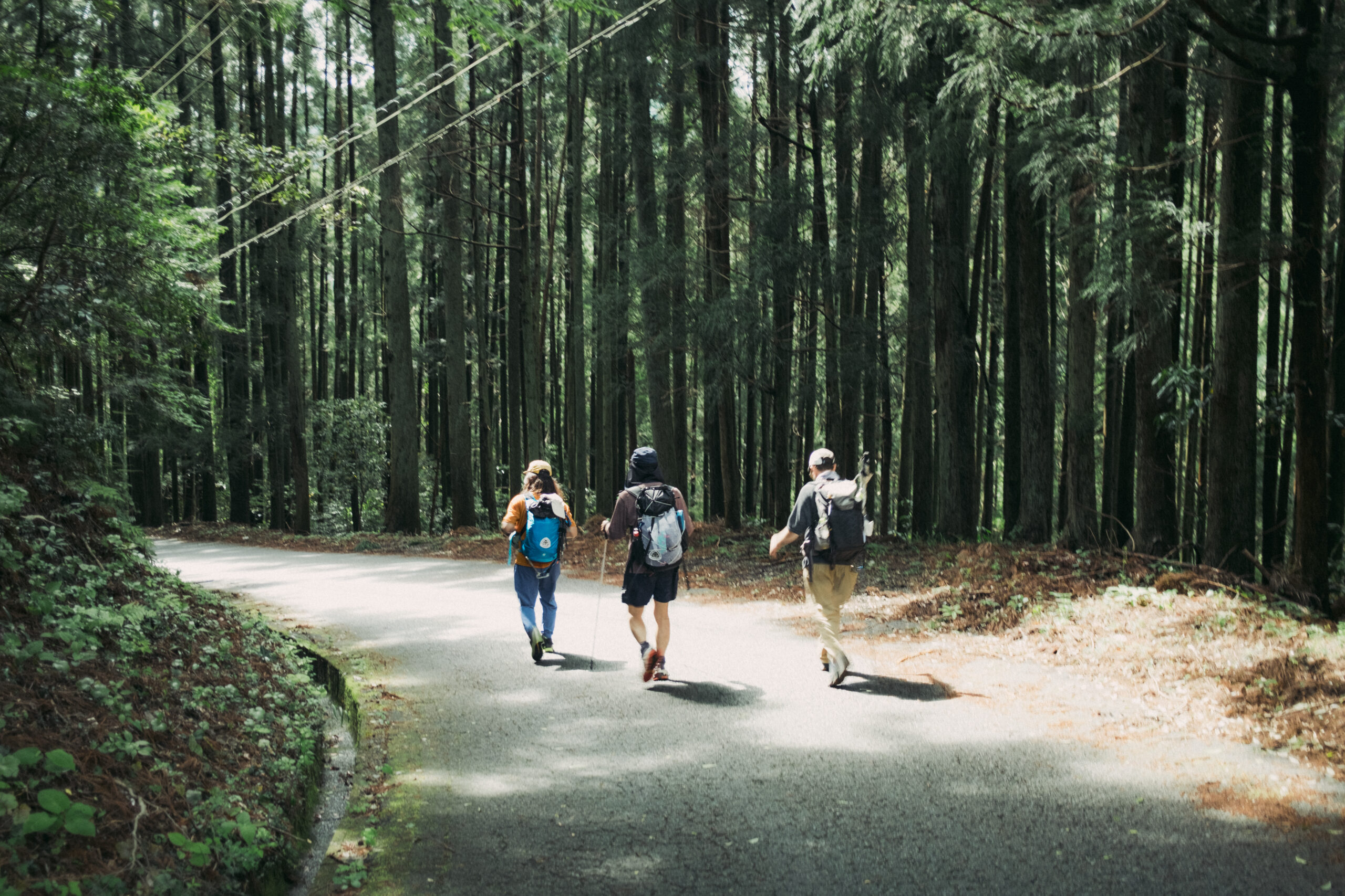
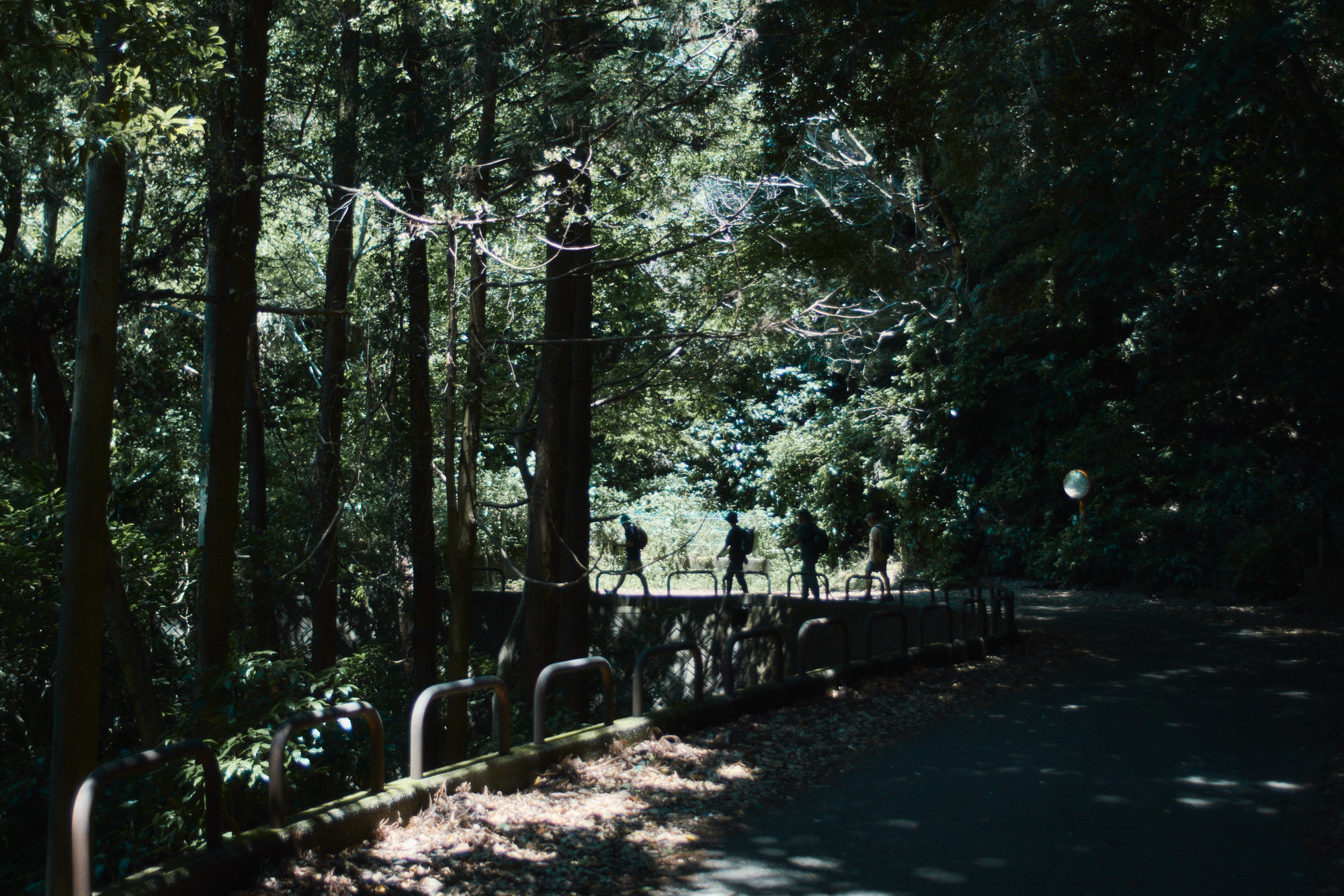
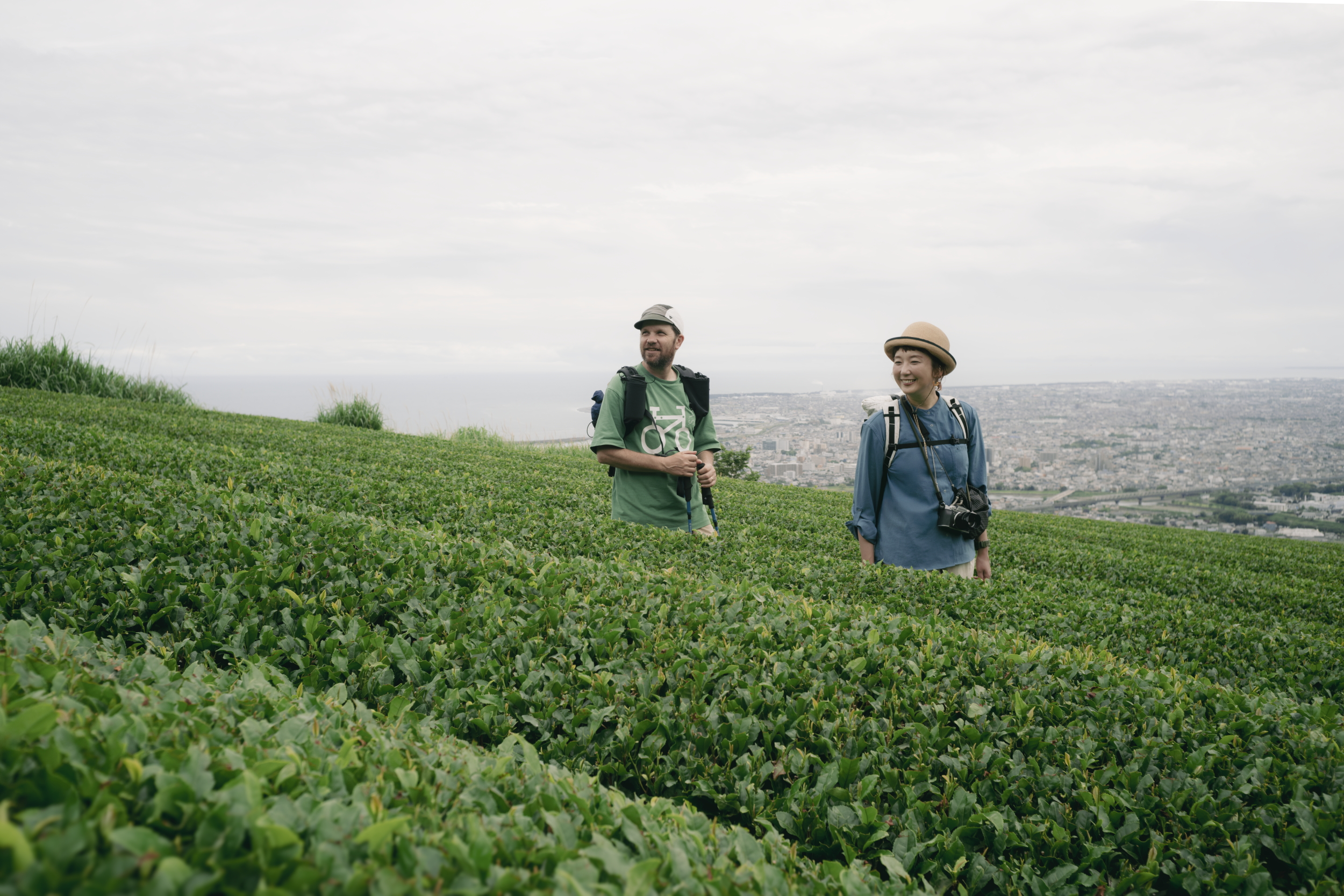
ルートは、小川港の港沿いを歩き、八雲通りを抜けて海沿いを進み、大漁釣守で知られる那閉神社へ。その後は北上して林叟院へと向かい、裏手のトレイルから高草山(501m)を越えて満観峰の山頂へ。駿河湾と静岡平野を一望できる展望地です。そこから舟川ルートを下り、静岡市丸子の匠宿へと続きます。ゴールの後は “ふきさらしの湯”へどうぞ。
この区間は「海から山へ、そして街へ」と移り変わる静岡の地形と文化を凝縮した、カツオトレイルの象徴的な始まりの道です。
ルートの概要や立ち寄りポイント、高低差図などを掲載しており、事前のプランニングや現地での行動に役立てていただけます。
A3サイズでのプリントアウトにも対応しておりますので、ぜひご活用ください。
We’ve released the 1:35,000 map (A3 size / PDF format) for Section 1 of the Katsuo Trail, covering the starting segment from Yaizu to Shizuoka.
The map includes an overview of the route, key points of interest, and an elevation profile—making it a useful tool for both trip planning and on-trail navigation.
It’s also formatted for A3 printing, so feel free to download and use it as needed.
カツオトレイル セクション2 マップ
KATSUO TRAIL SECTION 2 Map
Shizuoka to Fujieda Posted on June 28, 2025
カツオトレイル「セクション2 静岡→ 藤枝」の1/35,000マップ(A3サイズ/PDF形式)を公開しました。
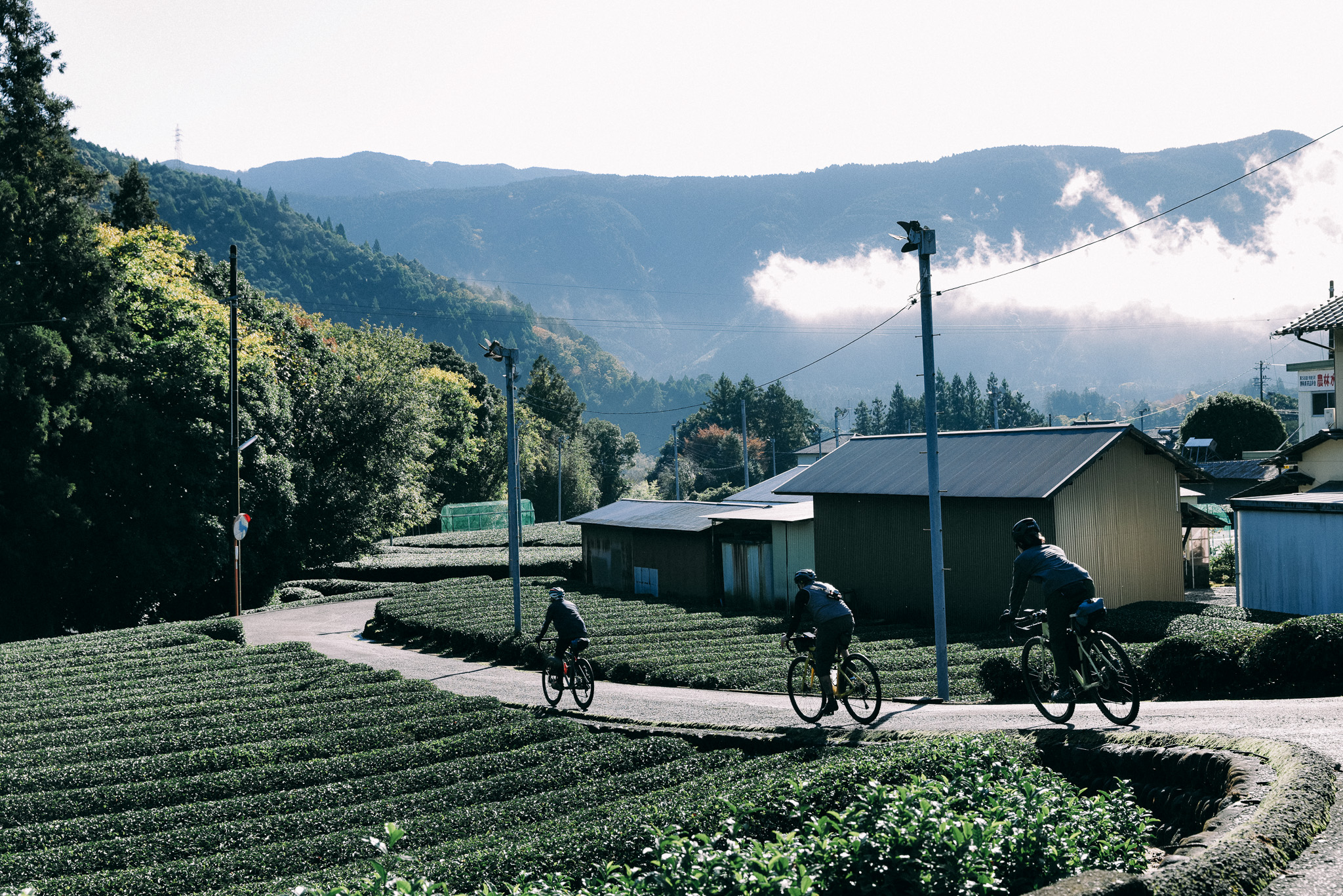
「セクション2 静岡→ 藤枝」は、文化の香りがする地域から、大自然へと移り変わる景色を楽しめる、もう一つのカツオトレイルの導入パートともいえます。
旅は、江戸時代の宿場町の風情をいまに伝える岡部宿からはじまり、静岡県最古の酒造・初亀醸造の脇を通り抜け、山村風景の広がるロードへ。道中、春先には山桜が、初夏には青く染まった水田が、秋には満開のコスモス畑が、目を楽しませてくれるでしょう。昼食は道の駅・玉露の里か、時間が許すならぜひとも美味しいヴィーガン料理を振る舞ってくれる檸檬とラクダへ訪れてほしい。ルートの後半はびく石山を超え、樹齢700年の鼻崎の大杉へ。ゴール付近には宿泊できるおれっぷ大久保キャンプ場があります。
マップにはルートの概要や立ち寄りポイント、高低差図などを掲載しており、事前のプランニングや現地での行動に役立てていただけます。
A3サイズでのプリントアウトにも対応しておりますので、ぜひご活用ください。
We’ve released the 1:35,000 map (A3 size / PDF format) for Section 2 of the Katsuo Trail, covering the starting segment from Shizuoka to Fujieda.
The map includes an overview of the route, key points of interest, and an elevation profile—making it a useful tool for both trip planning and on-trail navigation.
It’s also formatted for A3 printing, so feel free to download and use it as needed.
カツオトレイル セクション3 マップ
KATSUO TRAIL SECTION 3 Map
Fujieda to Shimada Posted on October 4, 2025
カツオトレイル「セクション3 藤枝→ 島田」の1/35,000マップ(A3サイズ/PDF形式)を公開しました。
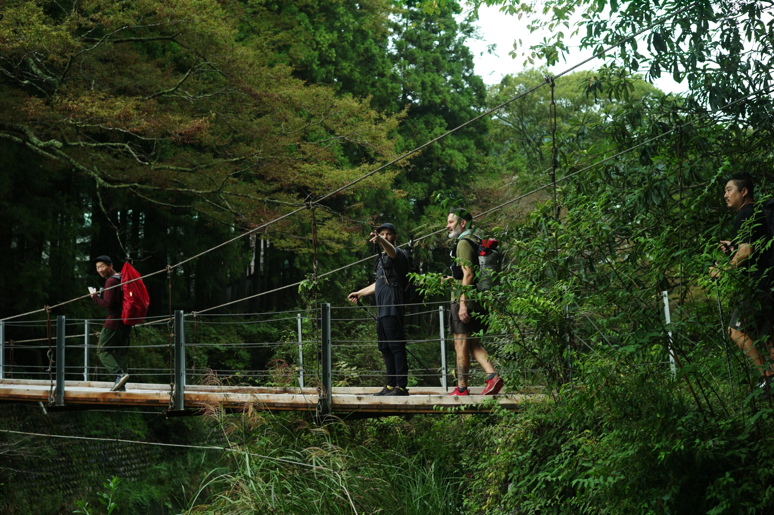
「セクション3 藤枝→ 島田」は、いよいよ本格的なトレイルの様相を呈してきます。
ルートは高根山を越えて、東海自然歩道と合流。トレイルコースとして整備されているので、比較的歩きやすくなっています。吊り橋をわたり、山深い澄んだ空気のなかをゆくと、かつては小学校もあった山間の集落・笹間へ辿り着きます。廃校を利用した宿泊施設・島田市山村都市交流センターささまや、古民家を改装したアートギャラリー、宿泊すると郷土料理が味わえる民宿ふくいなど、ゴール付近には地域特有のカルチャーを体感できるスポットがいくつかあります。
マップにはルートの概要や立ち寄りポイント、高低差図などを掲載しており、事前のプランニングや現地での行動に役立てていただけます。
A3サイズでのプリントアウトにも対応しておりますので、ぜひご活用ください。
We’ve released a 1:35,000 map (A3 size / PDF format) for the starting section of the Katsuo Trail, “Section 3: Fujieda → Shimada.”
The map includes route overviews, recommended stops, and an elevation chart—useful for planning ahead or navigating on-site.
It’s optimized for A3 printing, so feel free to download and use it for your next adventure.
カツオトレイル セクション4 マップ
KATSUO TRAIL SECTION 4 Map
Shimada to Kawane-honcho Posted on October 24, 2025
カツオトレイル「セクション4 島田→ 川根本町」の1/35,000マップ(A3サイズ/PDF形式)を公開しました。
「セクション4 島田→ 川根本町」は、トレイルのなかで最もハードなウォークと言えるかもしれません。
無双連山、本城山を越えるルートは、場所によっては整備されきっていない箇所もあり、中級者以上の方にお勧めのルートです。ゴールは、いよいよカツオトレイルの折り返し地点となる、川根本町の千頭駅。スタートの焼津とおなじように、地域の文化、歴史、食にふれやすいスポットとなっています。
マップには、ルートの概要や立ち寄りポイント、高低差図などを掲載しており、事前のプランニングや現地での行動に役立てていただけます。
A3サイズでのプリントアウトにも対応しておりますので、ぜひご活用ください。
We’ve released a 1:35,000 map (A3 size / PDF format) for “Section 4: Shimada → Kawanehon Town,” the starting section of the Katsuo Trail.
The map features an overview of the route, suggested stops, and an elevation profile—useful for pre-trip planning and on-site navigation.
It’s also optimized for A3 printing, so feel free to download and make use of it for your next journey.
Hiking GPX Data for Each Section
ハイク用各セクション GPXデータ
カツオトレイルの各セクションに対応したハイキング用GPXデータをダウンロードいただけます。
GPS対応アプリやデバイスに読み込むことで、ルートナビゲーションや記録にご活用いただけます。
You can download hiking GPX data for each section of the Katsuo Trail.
By importing the data into a GPS-compatible app or device, you can use it for route navigation and activity tracking.
Biking STRAVA Data for Each Section
バイク用各セクション STRAVAデータ
カツオトレイルの各セクションに対応したバイクルートのSTRAVAデータをダウンロードいただけます。
STRAVAなどのサイクリングアプリでルートを確認しながら、安全で快適なライドをお楽しみください。
You can download STRAVA route data for each section of the Katsuo Trail’s cycling course.
Use it with STRAVA or other cycling apps to navigate the route and enjoy a safe and comfortable ride.